Medias


Details
Course for : Family – All publics
Type of itinerary : Loop
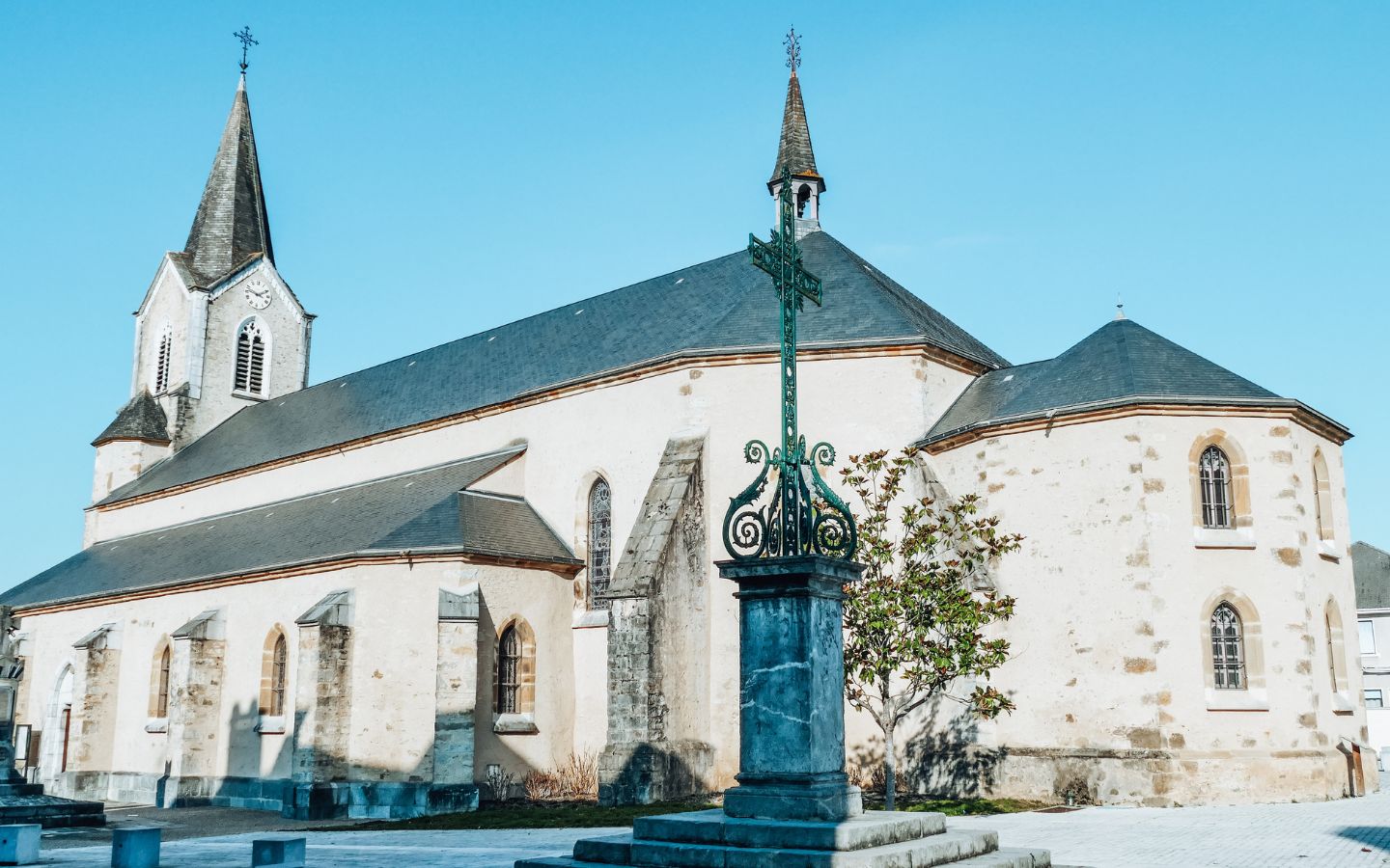
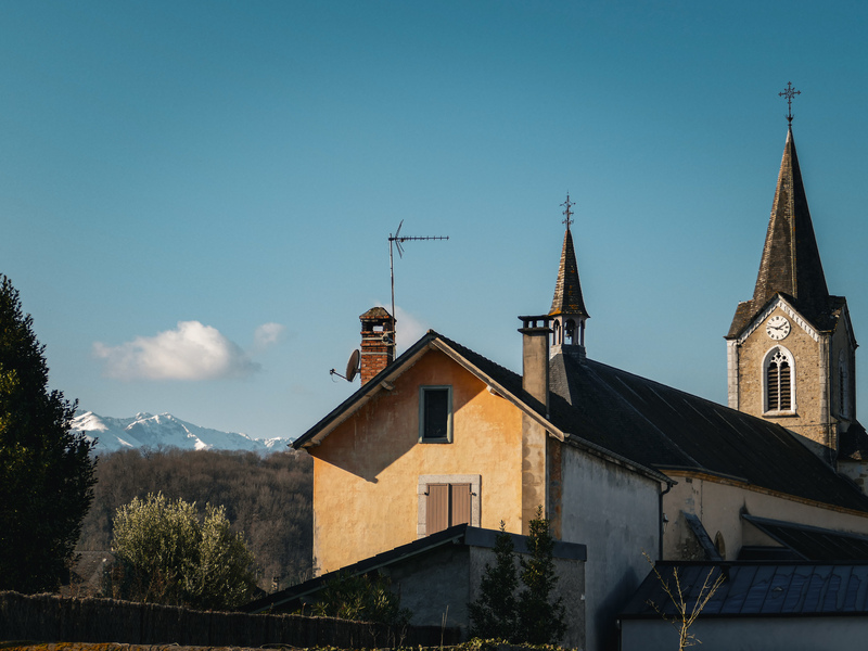
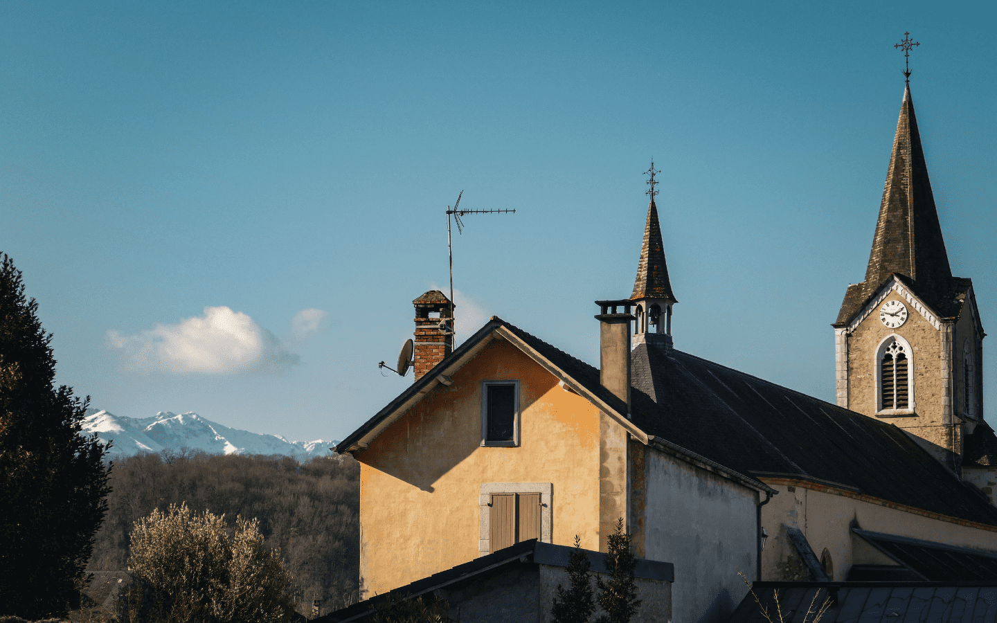
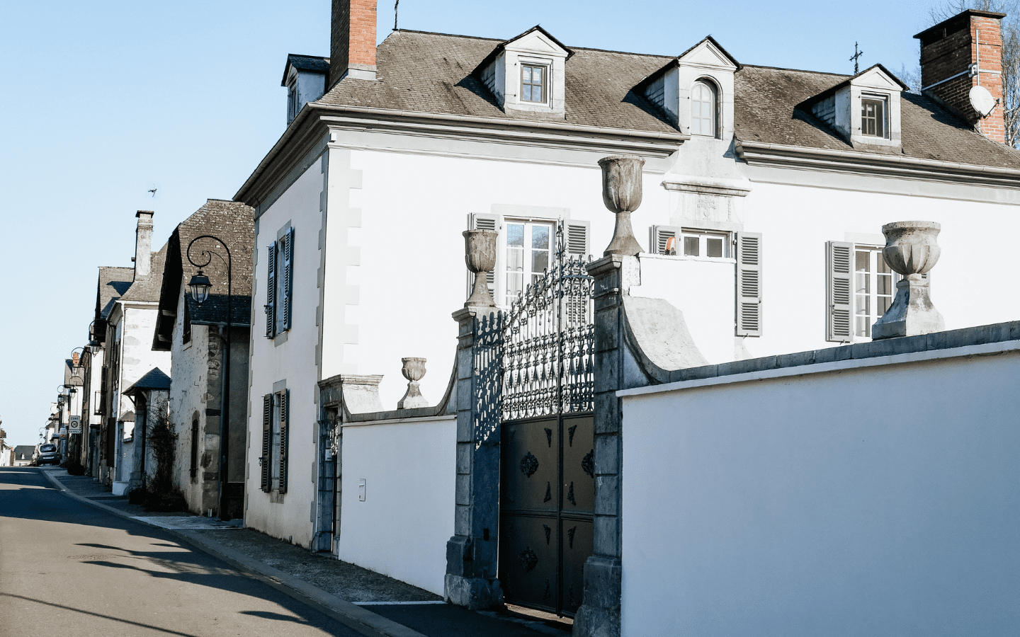
Departure : MONTAUT
Arrival : MONTAUT
Further information
Travel time : 1h (on foot)
Difficulty : Very easy
Distance : 1,3 km
Elevation : 17 m
Warning :
Take care when crossing the railway - -0.199689 - 43.129999
Warning
Useful tips
Emergency number: 112
Protect yourself
Protect nature
Respect the mountain
Basque and béarnais mountains are pasture lands. Try not to take your dog. In all circumstances, keep it on a leash. Thank you!
Download the trail
Download your layout in format : .gpx
Information
Pet accepted : Yes
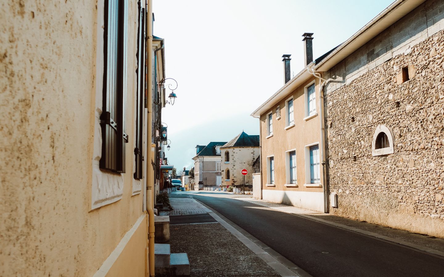
Getting here From the Town Hall of Nay, cross the bridge and turn left onto the D 936 towards Bénéjacq. At the roundabout, turn right for 1 km. At the stop sign, turn right onto the D 938 towards Lourdes. Always follow the direction of Lourdes. At 7 Km from Nay pass Lestelle Bétharram and after the bridge on the left take the D 612 to the center of Montaut.