medias


details
parcours pour : Sportspeople
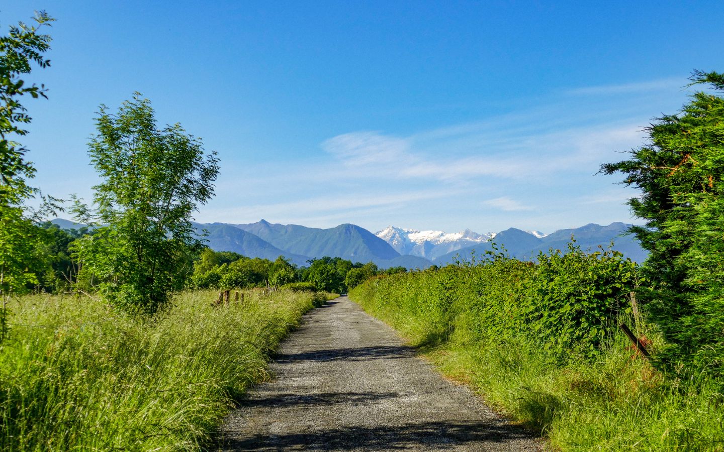
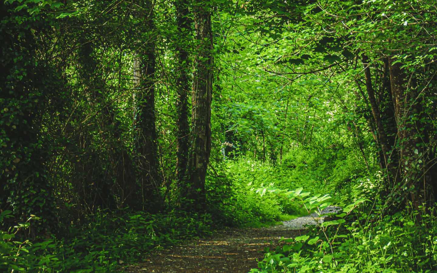
typologie itineraire : Loop
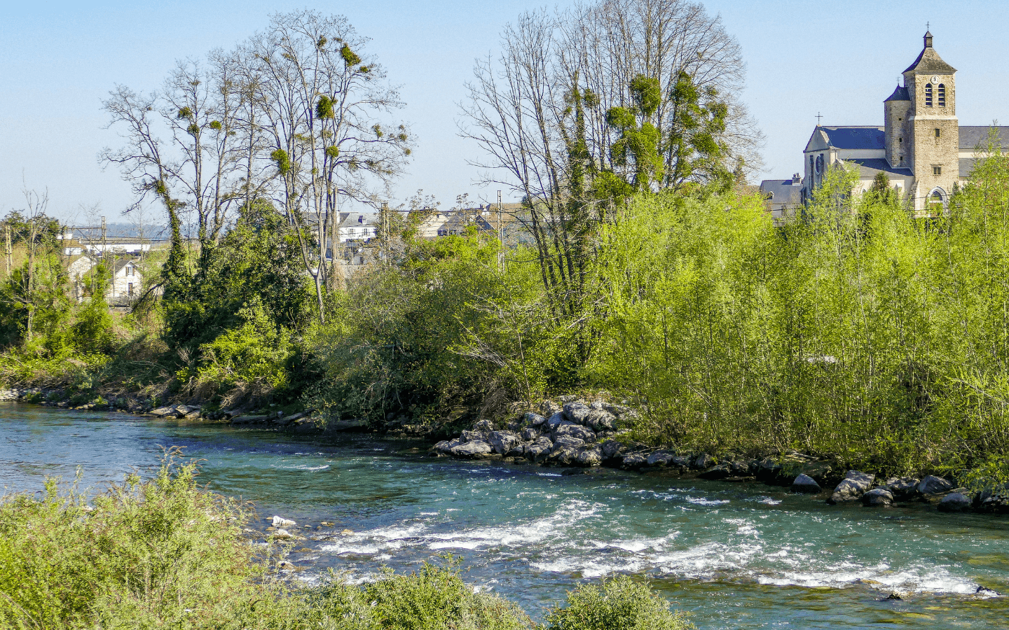
depart : NAY
arrivee : NAY
informations complementaires
temps de parcours : 6h30 (by bike)
difficulte : Average
distance : 55 km
denivele : 400 m
points dattention sur litineraire :
Be careful when you are on the road - Do not go near the water during floods
couleurs du balisage : Green
marquage du balisage : panneaux
Warning
Useful tips
Emergency number: 112
Protect yourself
Protect nature
Respect the mountain
Basque and béarnais mountains are pasture lands. Try not to take your dog. In all circumstances, keep it on a leash. Thank you!
informations
animal de compagnie accepte : Yes
comment venir From the Place de la Mairie at Nay, take the D136 before the bridge on the left in the direction of Bourdettes and Oloron then straight on towards the fire station.