VTT 5 Le chemin Henri IV

It is said that this path was the one that Henri IV used to take from Pau to go hunting in the woods of Lourdes. It is on the hillside, long predates the good king and dates back to the protohistoric period. It enabled travellers to avoid the marshlands of the Plaine de Nay and the Gave de Pau. The Road to Santiago, between Lourdes, Pau and Lescar, from the dolmen of the Peyre Duzets, to Caesar’s Fort (le Fort de Cesar) by way of the ruins of Gleise Pause; the etymology and the vestiges of the past tell the story of a path that, way before having the name of a king, was a route between cities. Later on, villages and roads were built in the plain, which, with the change in climate and the work of men, dried out.
Medias
Details

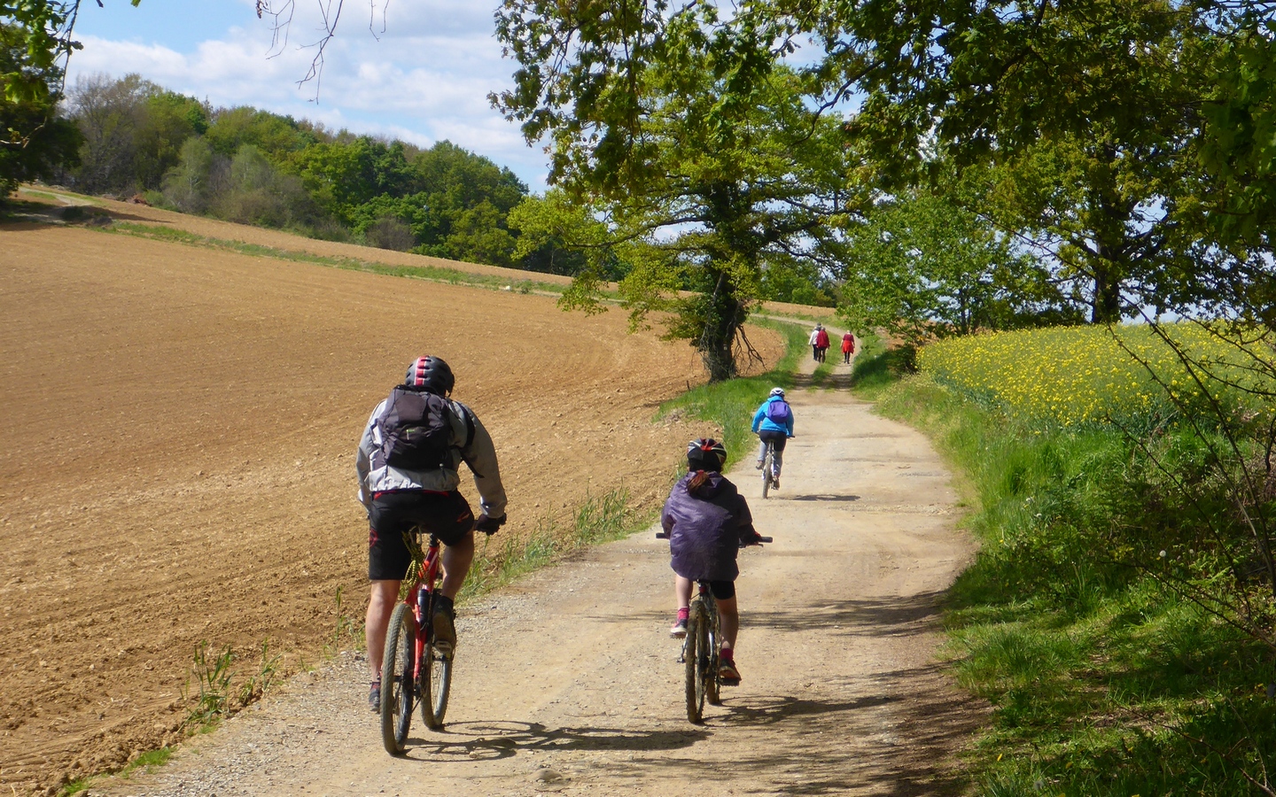
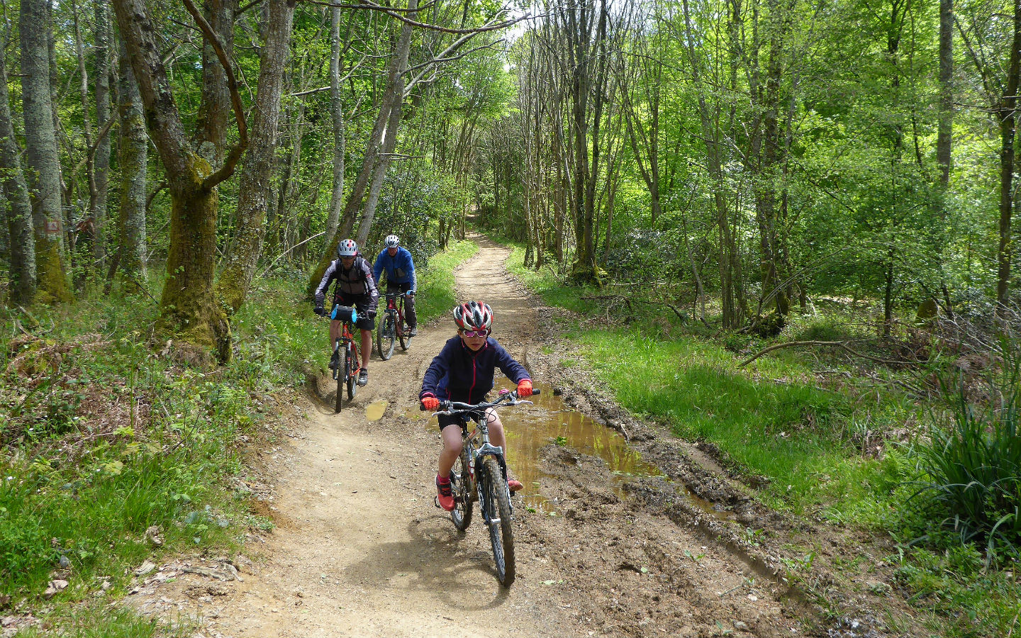
Course for : Sportspeople

Type of itinerary : Return – Hiking Route (GR®)

Departure : SAINT-VINCENT

Arrival : OUSSE

Further information

Travel time : 5h30 (by mountain bike)

Difficulty : Average

Distance : 34,8 km

Elevation : 307 m

Warning : Be safe ! Be careful crossing roads.

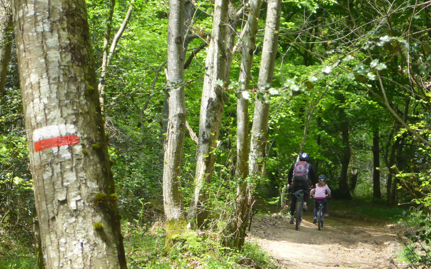
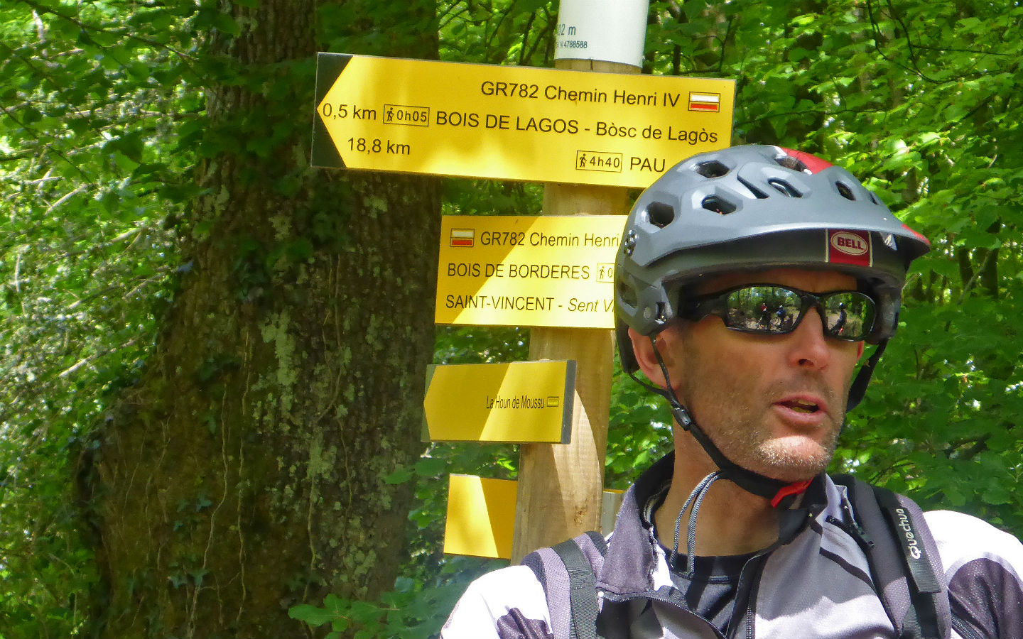
Markup colors : White and red (GR®)

Hiking signposting : Chemin Henri IV

Download the trail

Download form :

Download your layout in format : .gpx

Information

Pet accepted : Yes

Getting here From the town hall of Nay, cross the bridge and take the D 936 towards Bénéjacq. Pass Bénéjacq and at the top of the hill turn right onto the D 421 towards Saint Vincent.