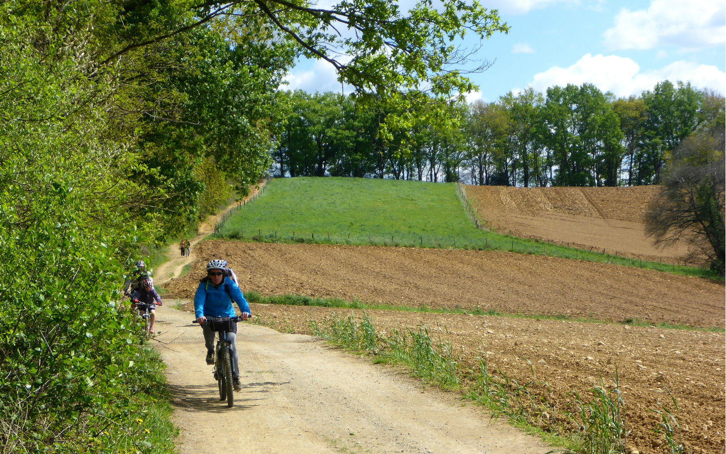
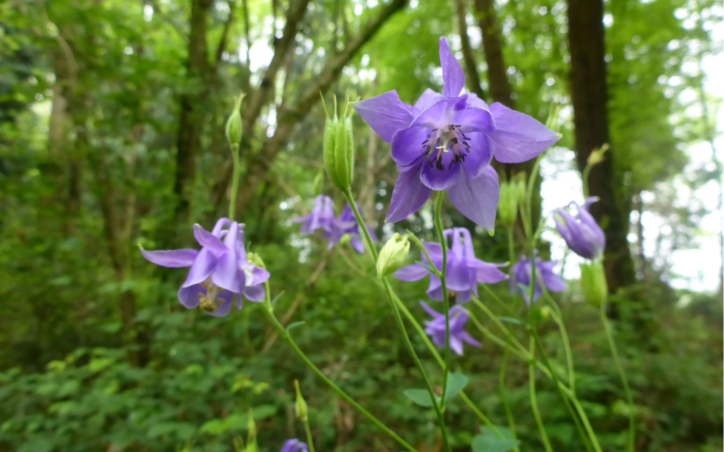
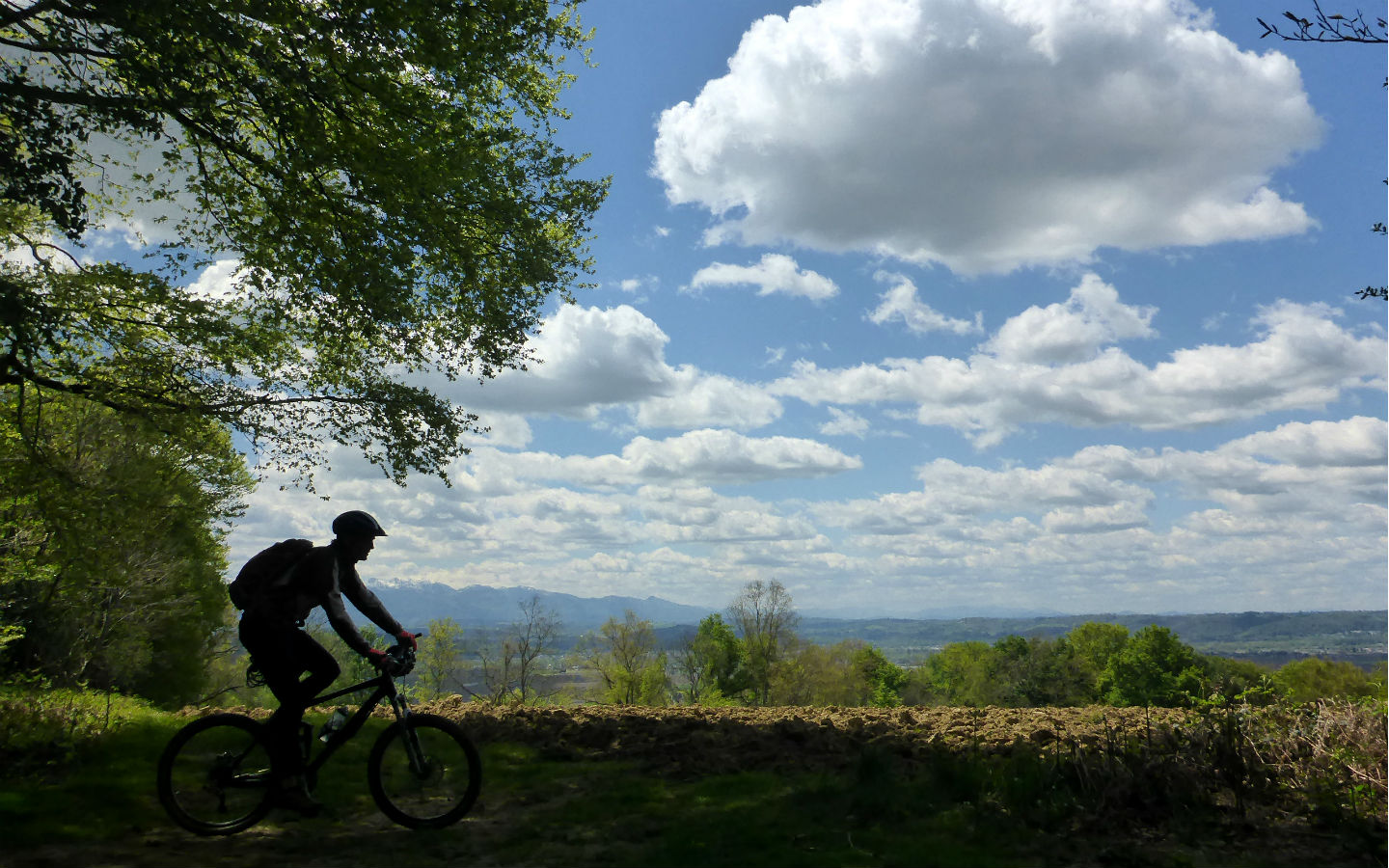
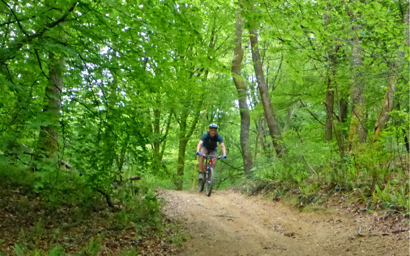
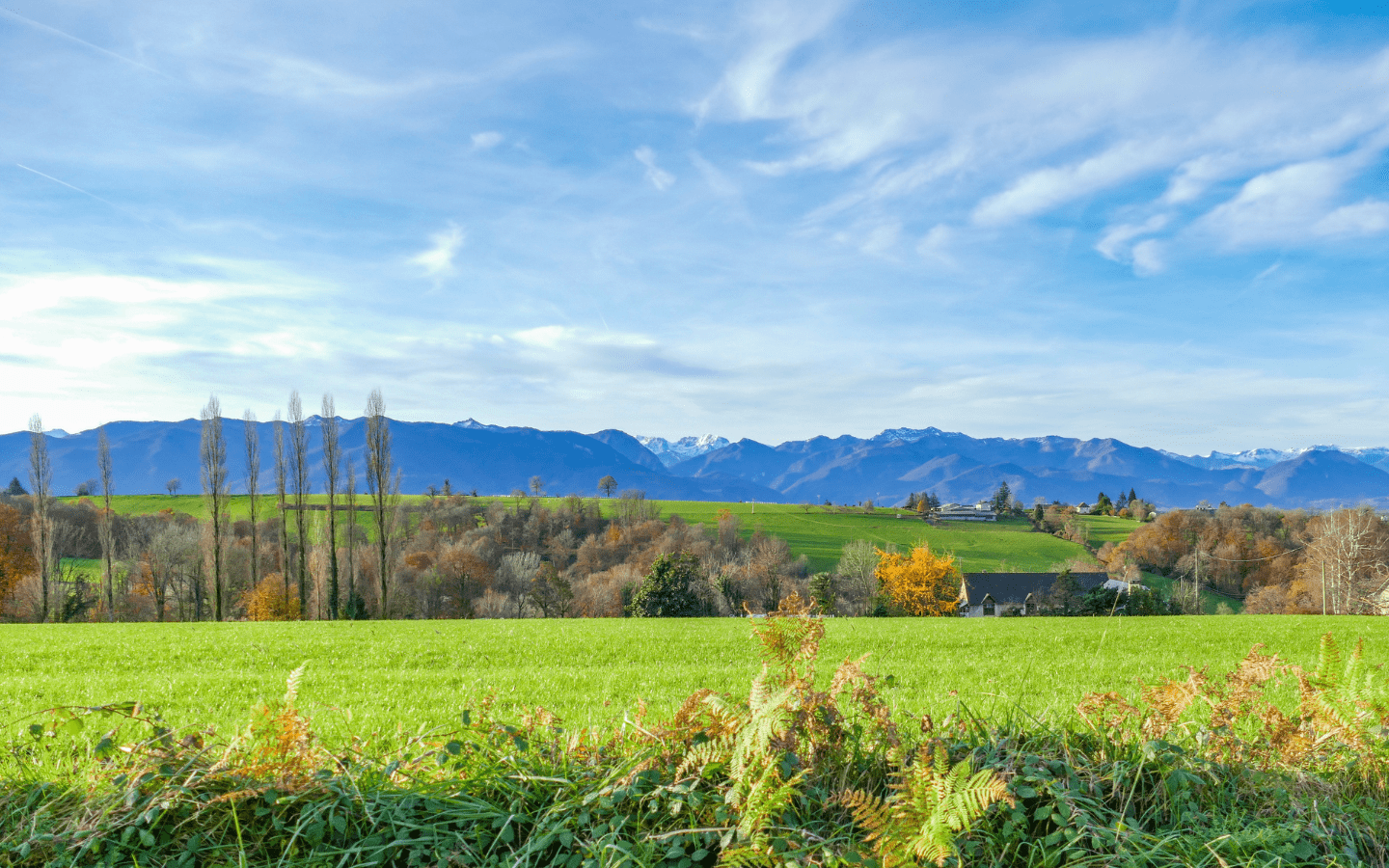
VTT 6 Tour du Pays de Nay

A very beautiful and interesting circuit via side roads. Although with no great technical difficulties, this circuit is aimed at sporty people because of its length and its climb. A key element of Nay’s lowland landscape, the canals have existed since the Middle Ages. They were used for irrigation and to power mills and hammers. Their role was essential in the development of industry in Nay during the 19th century. The water intake of Coarraze in the right bank gives rise to the canal of the Lagoin, which supplies the stream of the same name and the lowland canal. Left bank upstream of the Claracq bridge, the Grau canal flows into the Escourre and creates the Gaou canal. From these canals and streams flow a number of small irrigation channels.
Medias
Details

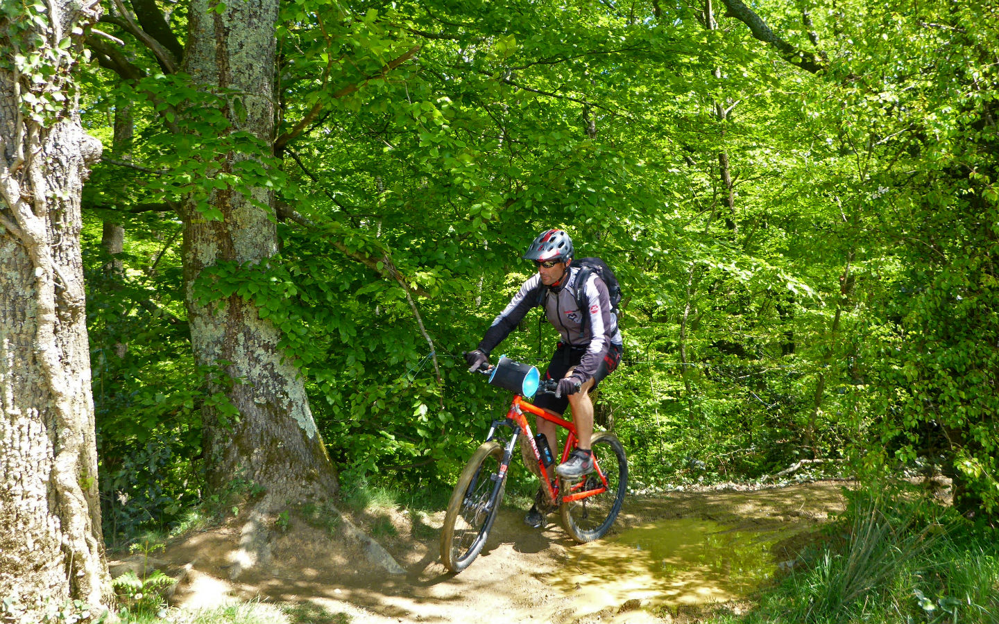
Course for : Sportspeople

Type of itinerary : Loop

Departure : MONTAUT

Arrival : MONTAUT

Further information

Travel time : 8h (by mountain bike)

Difficulty : Difficult

Distance : 69,4 km

Elevation : 878 m

Warning : Be careful on the road - Sections on different levels

Markup colors : Yellow

Hiking signposting : panneaux VTT6 avec le nom "Tour du Pays de Nay"

Download the trail

Download form :

Download your layout in format : .gpx

Information

Getting here Starting from the City hall of Nay cross the bridge and turn left D 936 in the direction of Bénéjacq. In the round about turn right on 1 km. In stop turn right D 938 in the direction of Lourdes. Follow always the direction Lourdes. To 7 km of Nay cross Lestelle Bétharram and after the bridge on the mountain stream turn left D 612 up to the center of Montaut.