medias


details
parcours pour : Sportspeople
typologie itineraire : Loop
depart : ARTHEZ-D'ASSON
arrivee : ARTHEZ-D'ASSON
informations complementaires
temps de parcours : 8h (on foot)
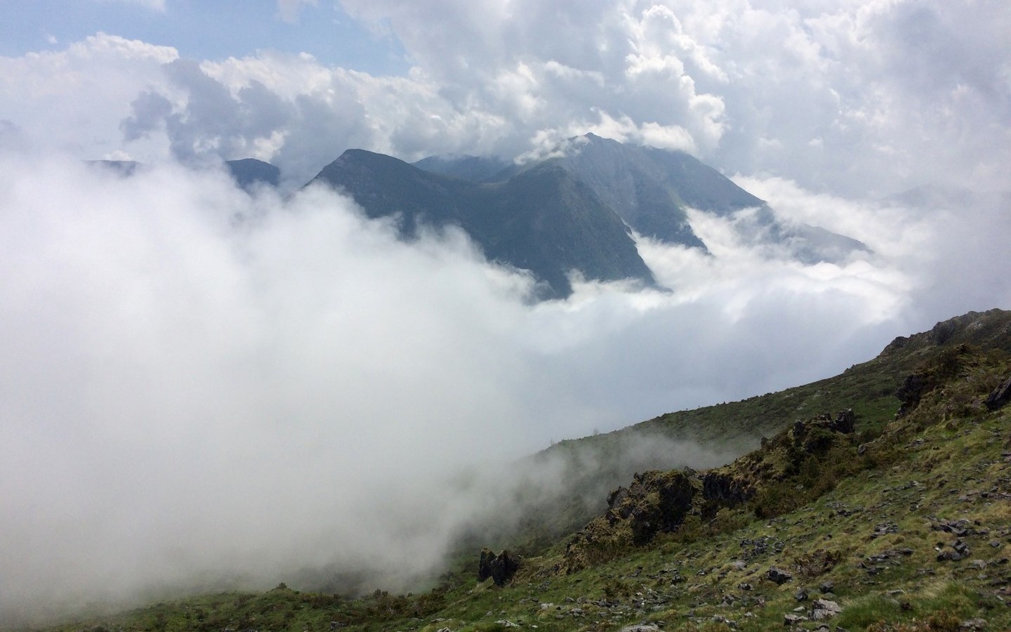
difficulte : Difficult
distance : 18,4 km
denivele : 1380 m
points dattention sur litineraire :
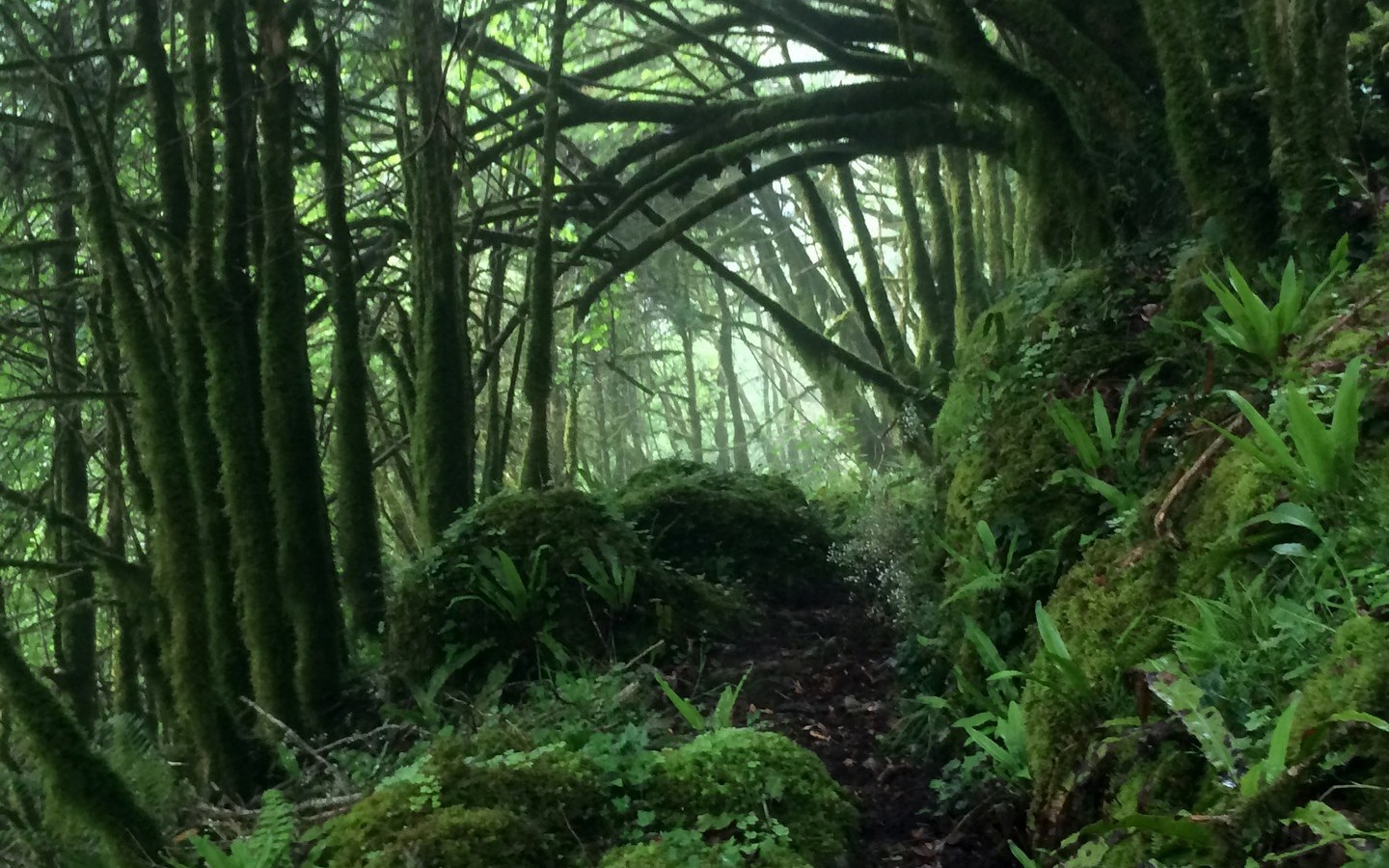
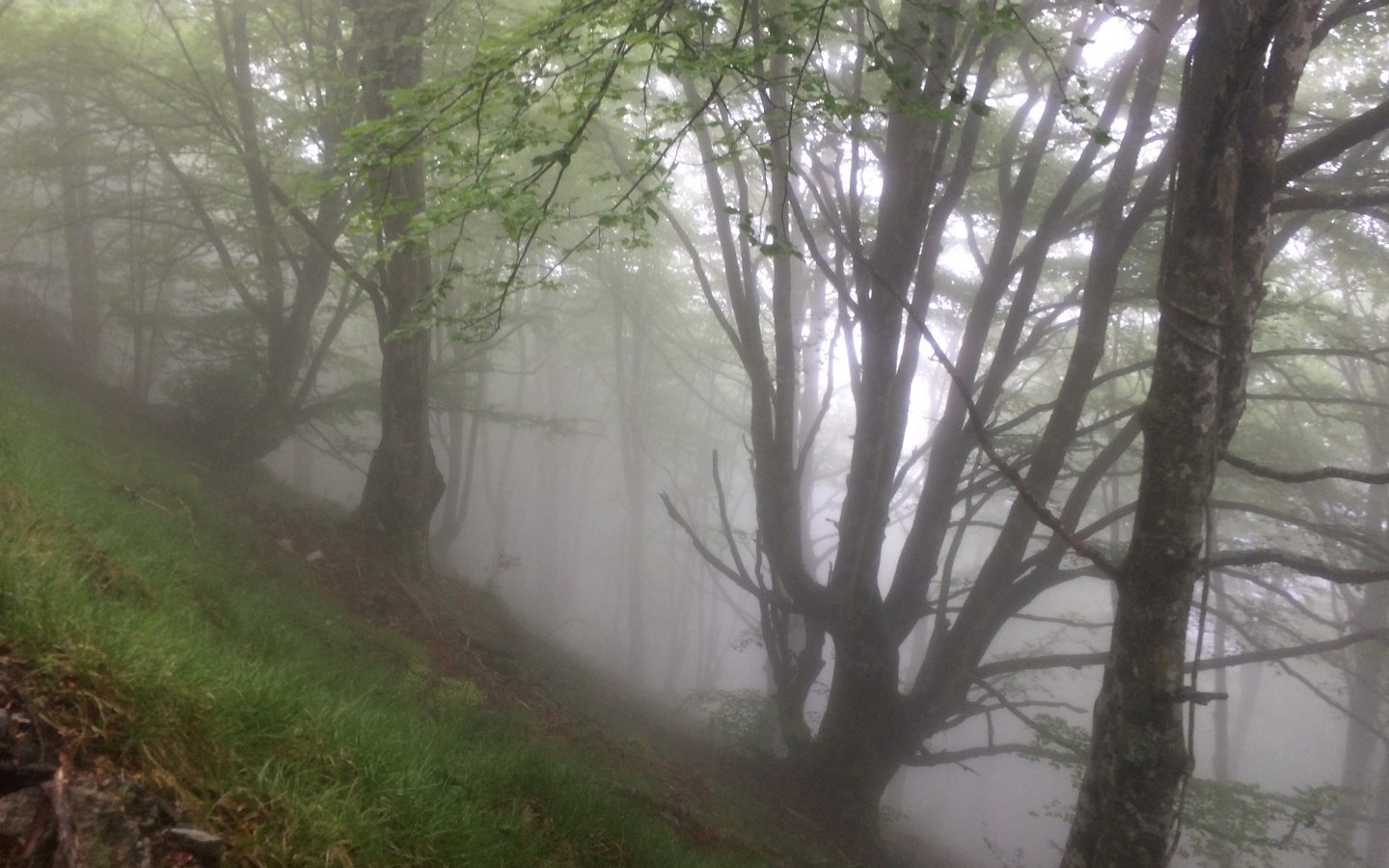
Hiking equipment essential - Be careful with flocks and dogs - Close barriers once crossed
couleurs du balisage : Yellow
Warning
Useful tips
Emergency number: 112
Protect yourself
Protect nature
Respect the mountain
Basque and béarnais mountains are pasture lands. Try not to take your dog. In all circumstances, keep it on a leash. Thank you!
informations
animal de compagnie accepte : Yes
comment venir From the town hall of Nay, cross the bridge and follow the D 936 towards Bénéjacq. At the roundabout take the D 938 towards Lourdes for 1 km. At the crossroads turn right onto the D 937 towards Lourdes. 3 km later turn right on the D35 towards Asson and Louvie-Juzon. On entering Asson, after the bridge and the castle, turn left and follow the D126 towards Soulor until Arthez-d'Asson. Parking place of the town hall.